MTB Movie

MTB Maintenance - MTB Preparation
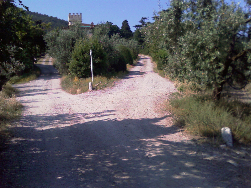
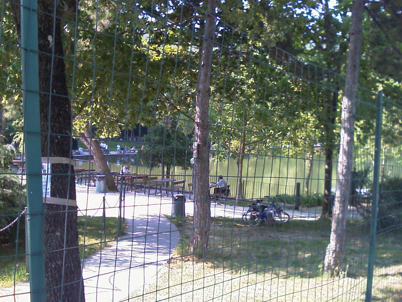
Artimino
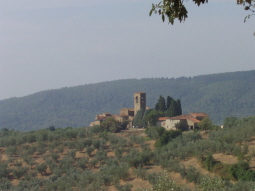
Mtb Tracks Hill Around Florence Artimino CountryMore.....
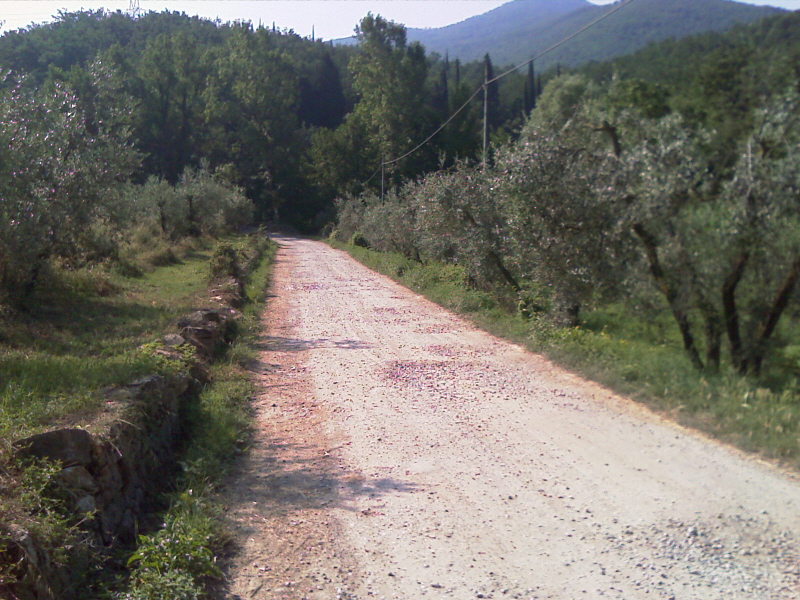
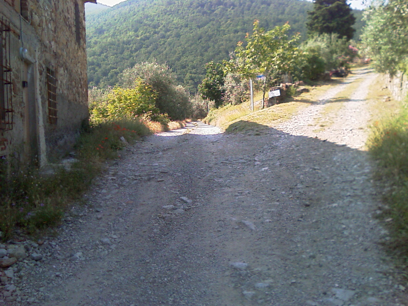
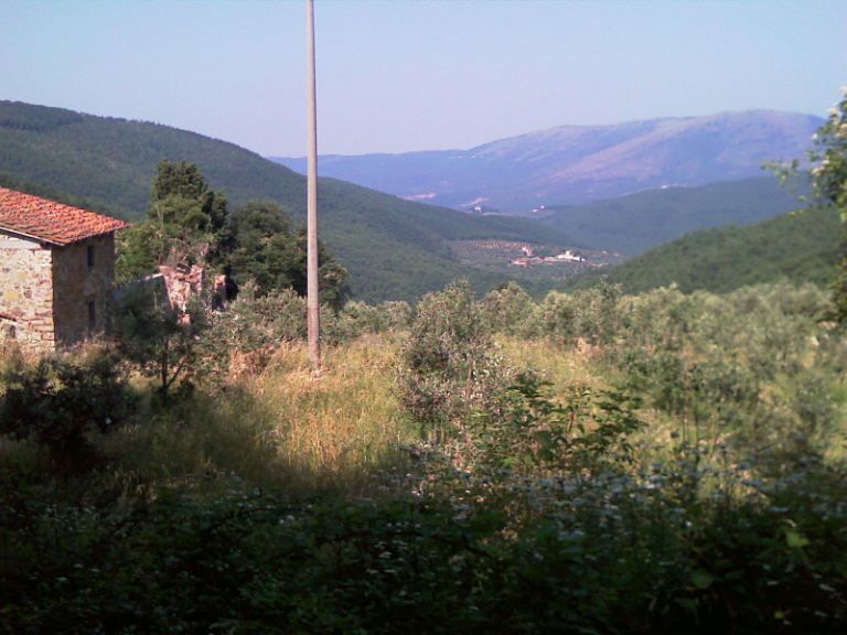
Morello Mount
Mtb Tracks Around Florence Morello Mount Legri Volmiano and MattaianoMore.....
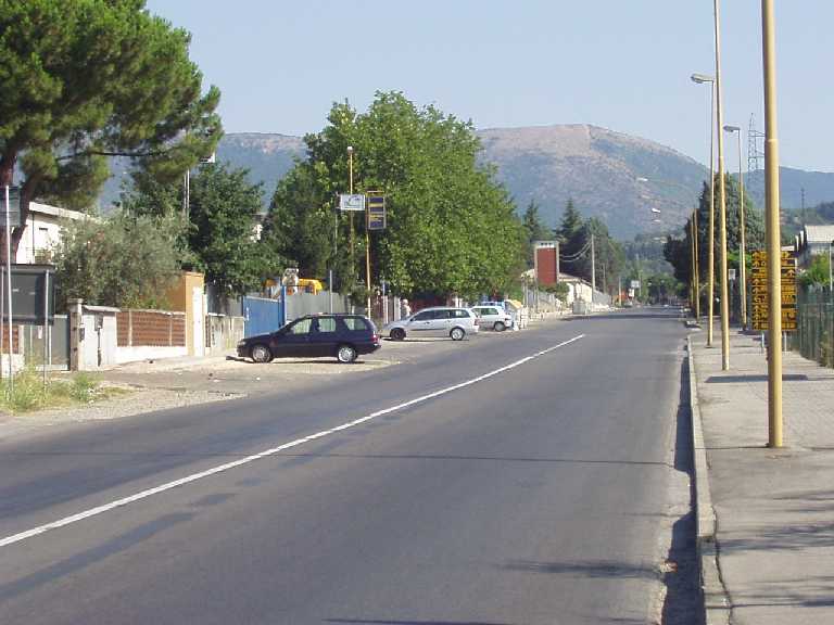
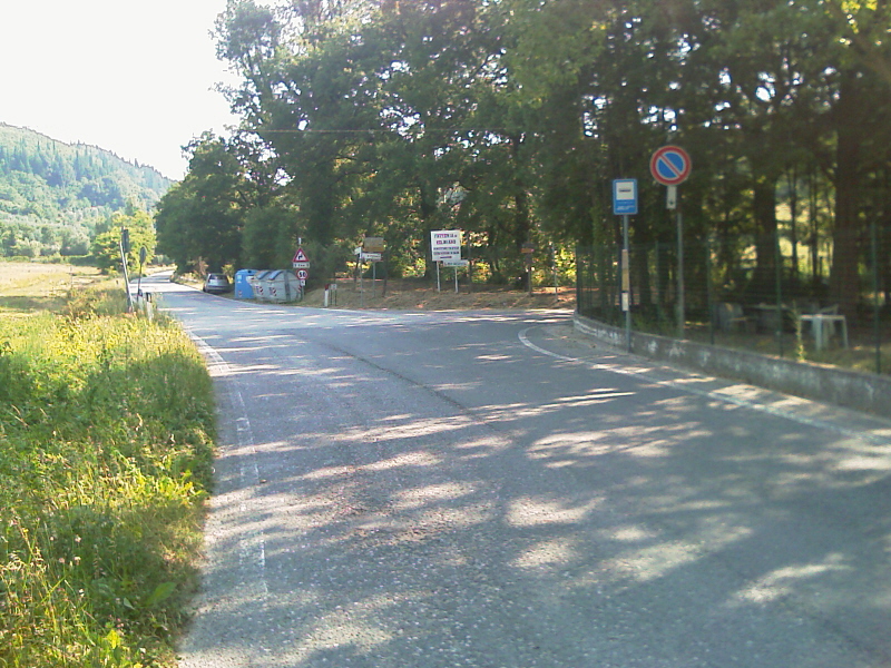
Roveta Mount
Florence City direction Scandicci and Rinaldi go up to San Martino alla PalmaMore.....
Renai Park
From Florence go to Rigth Side of Arno River Arno and arrival to Renai Park Signa locationMore.....

Audio
- TRAVELS
Travels around the World
Amsterdam - Lisboa
Amsterdam City from 750.000 peoples, where the Electric Bus go up 10' max and the bike is most important trasport peoplesMore...

Lisboa city from about 4 milion of peoples,More...
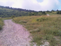
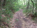
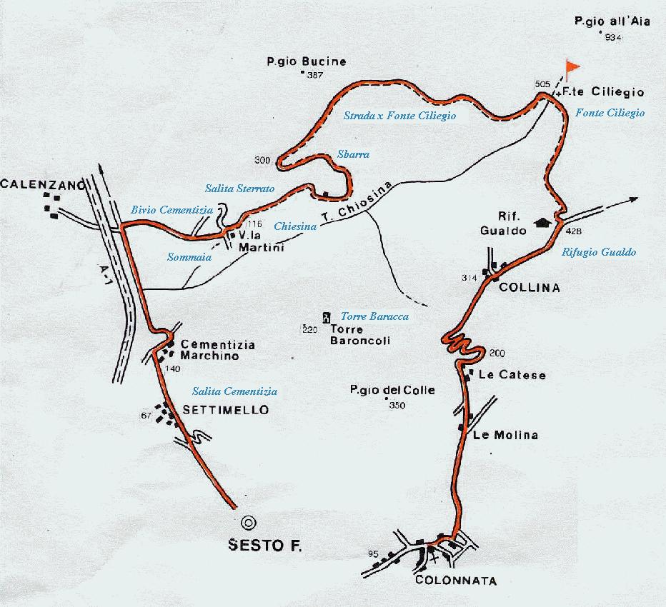
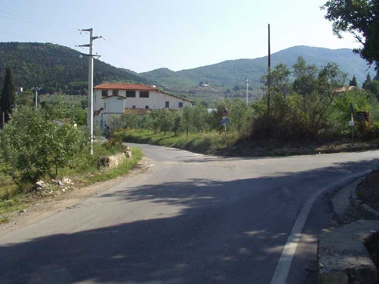
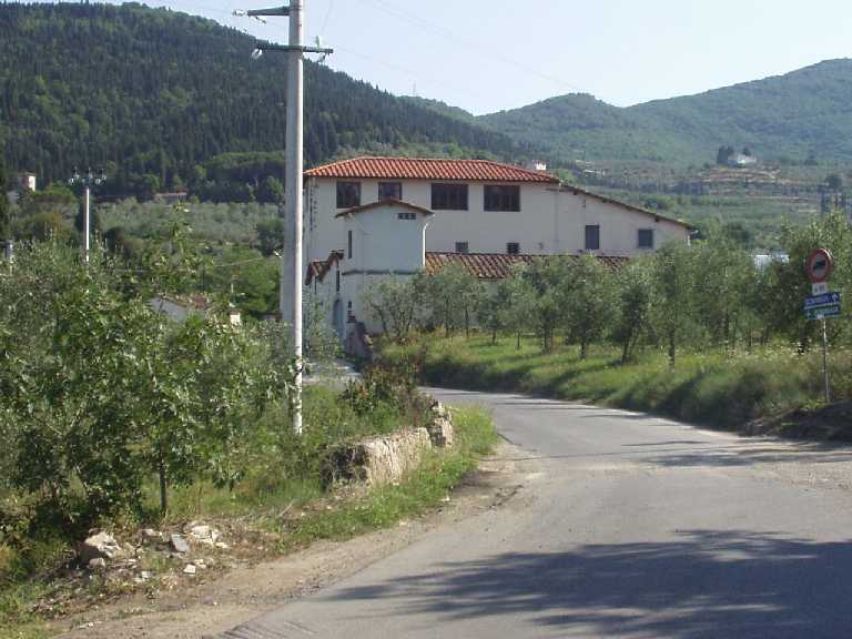
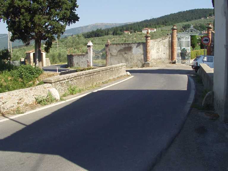
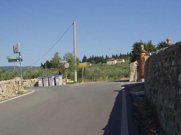
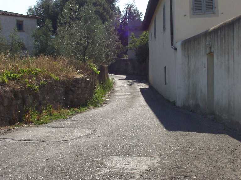
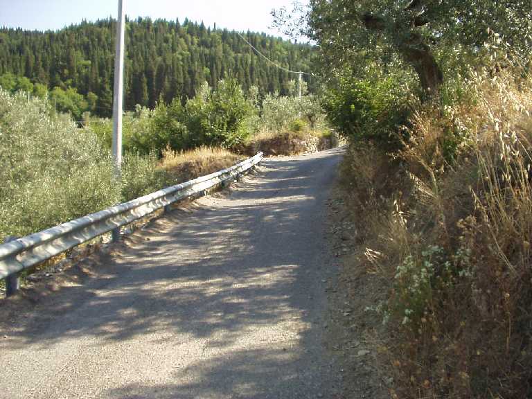
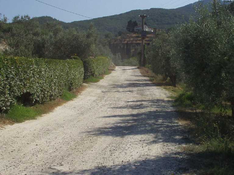
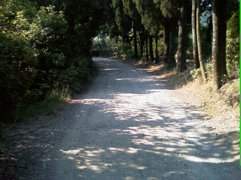
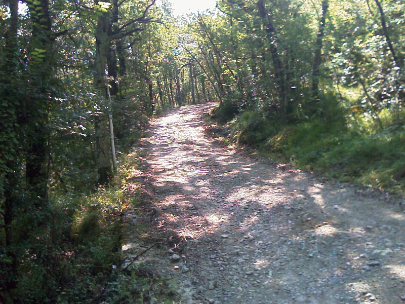
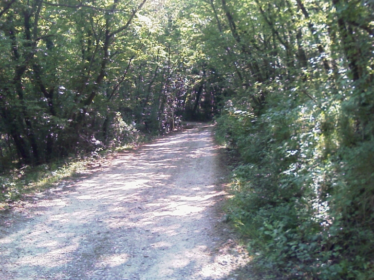
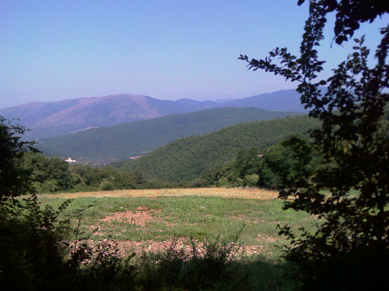
MOUNTAIN BIKE TUSCANY MTB FLORENCE - MORELLO MOUNT 
TRAILS DIFFICULTY TIME ALTIMETRY LENGTH OFF ROAD SESTO F.NO - MORELLO MOUNT MEDIUM 

850 m 30 Km 40% SESTO - CHERRY SPURCE - COLONNATA MEDIUM 510m 25 Km 30% SESTO - CHERRY SEPPI SOURCE - POLICE HORN DIFFICULT 

900 m 35 Km 40% SESTO - VOLMIANO - MATTAIANO - PATERNO DIFFICULT 900 m 45 Km 30% - Vertical Drop 850 m - Length30 Km - 40 % Off Road
- DIFFICULTY MEDIUM
- - Departure from Sesto Fiorentino
- Road to Calenzano Direction Legri begins a gentle climb
- After the cement of Calenzano, turn Right
- Start a slight ascent you must follow the paved road for about 1 Km
- Passing a series of industrial, one arrives at a Crossroad - - Proceed straight on the road (we are in town Sommaia
- - We pass a
Small River
and proceed right onto the paved road
- At the next Junction take right
- We are thus faced with a Steep Slope about 500 m long
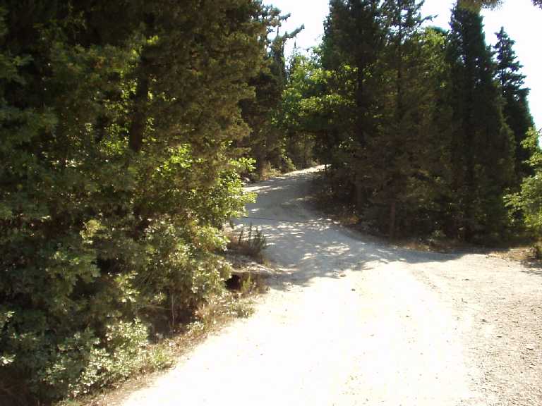
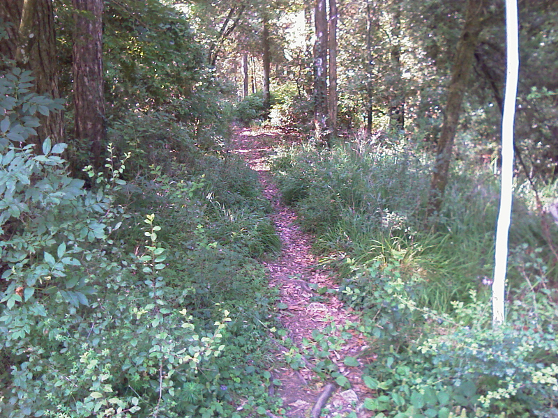
- We pass a Small Church and then the road becomes dirt
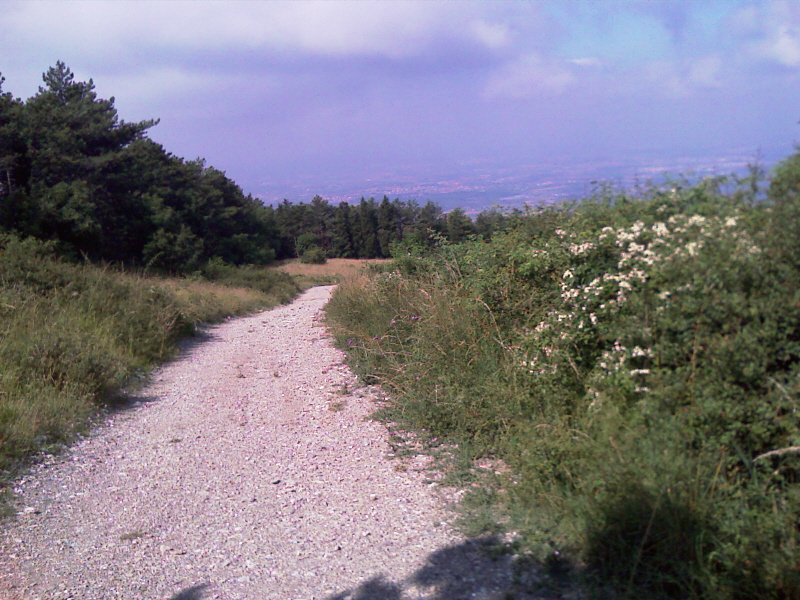
- Proceed straight for the dirt road for about 2 km
- On the right you can see on the hill adjacent to the Tower of Baracca - - Then you meet a steep but short
climb
- Just passed two
houses
turn
left
- Proceed straight for the same path -
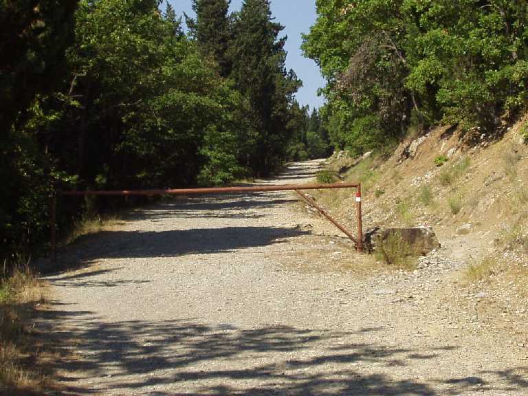
- We passe a
barrier
that prevents tra transition to self
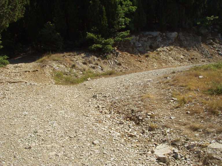
- You reach a junction, keep right
- The climb is gradual for about 4 Km
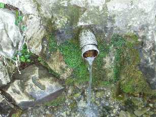
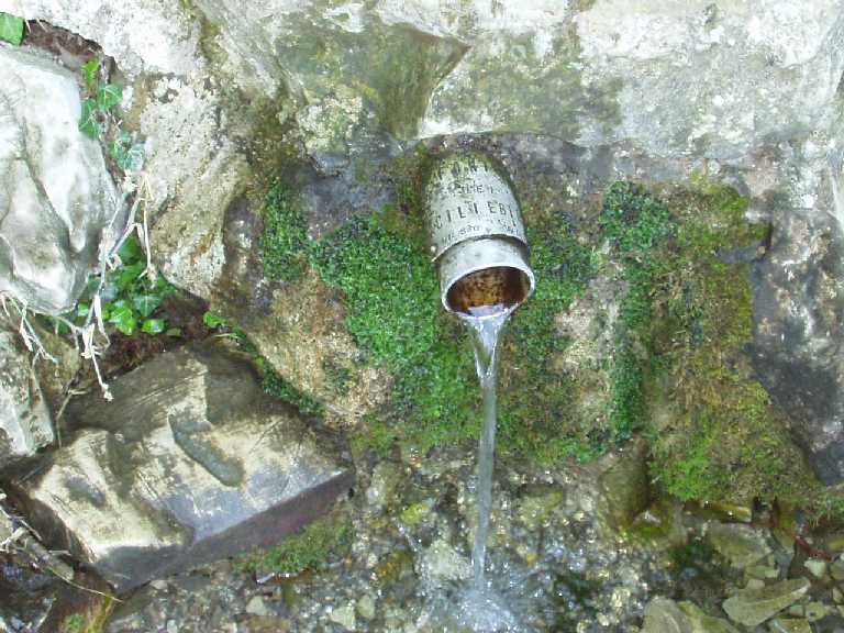
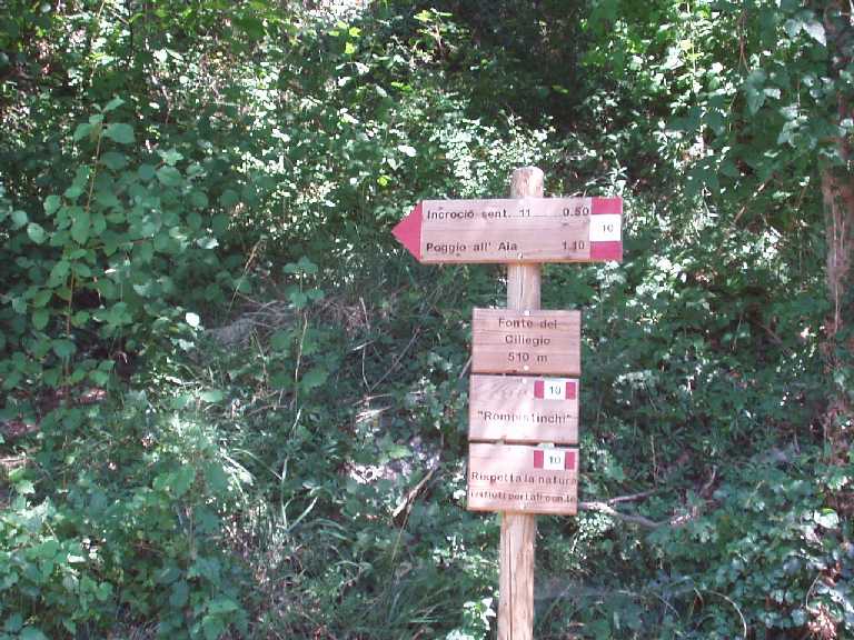
- It reaches a height of 510m above sea level so the "Source of Cherry"
- Recommended to stop having the freshness of the water source
- Once you are rested and watered again for a short descent to the Refuge of Gualdo
- Here ends the dirt road
- Past the hut turn left into the main road that goes to the Top Morello
- Follow the main tarred road for 5 km, you reach the source -
- I found at an altitude of 700m above sea level
- At the source Seppi takes the dirt road
- After about 300 m you will forward to the left in the bush
- Follow the path downhill for about 4 km on the right while keeping junctions
- We get to the restaurant the Vecciolino
- We call on the asphalt road that takes us back to Sesto Fiorentino
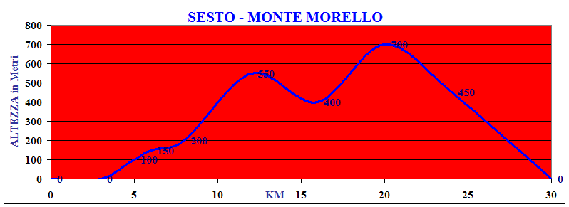
SESTO - MORELLO MOUNT
Località
Km
Altezza m Sesto Fiorentino 0 0 Cementizia 3 0 Sommaia 5 100 Church 6 150 Houses 8 200 Cherry Source 12 550 Gualdo Refuge 16 400 Seppi Source 20 700 Vecciolino 24 450 Sesto Fiorentino 30 0 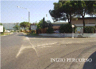
Vertical Drop 510 m - Length 25 Km - 40 % Off Road
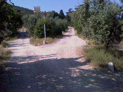
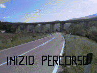
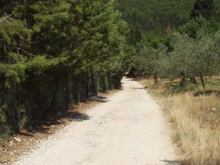
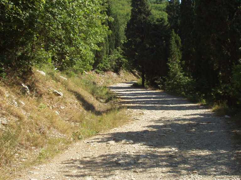
- Click on the photos in the Green Area to View Images of Places
- DIFFICULTY
MEDIUM
(Rapresented in the Map Above)
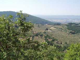
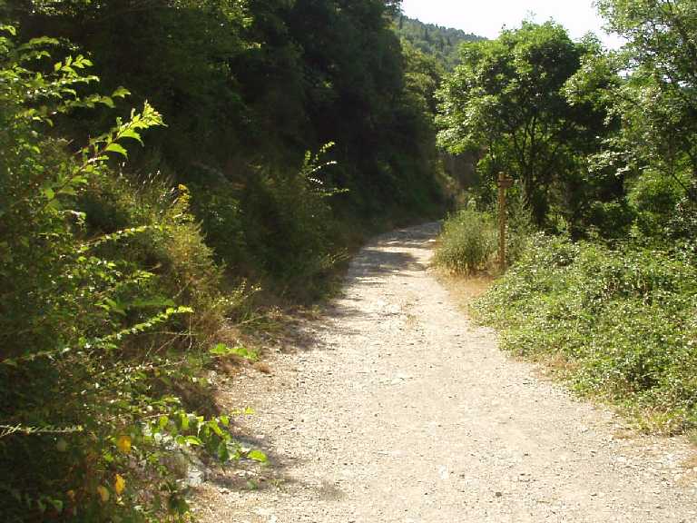
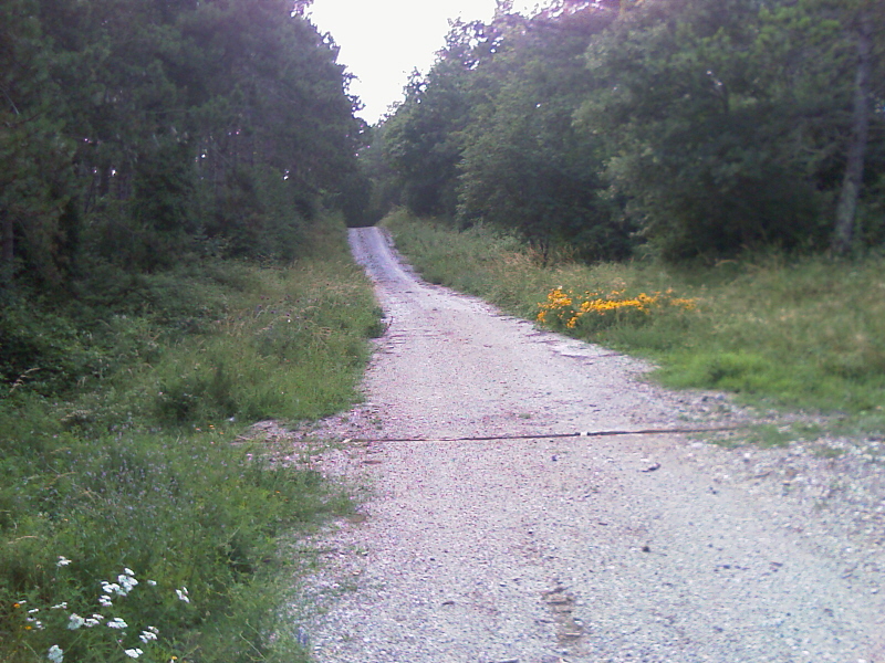
This is a very scenic, especially in the stretch dirt road that goes from home to the Refuge Bongini Gualdo The view across the plain in Florence
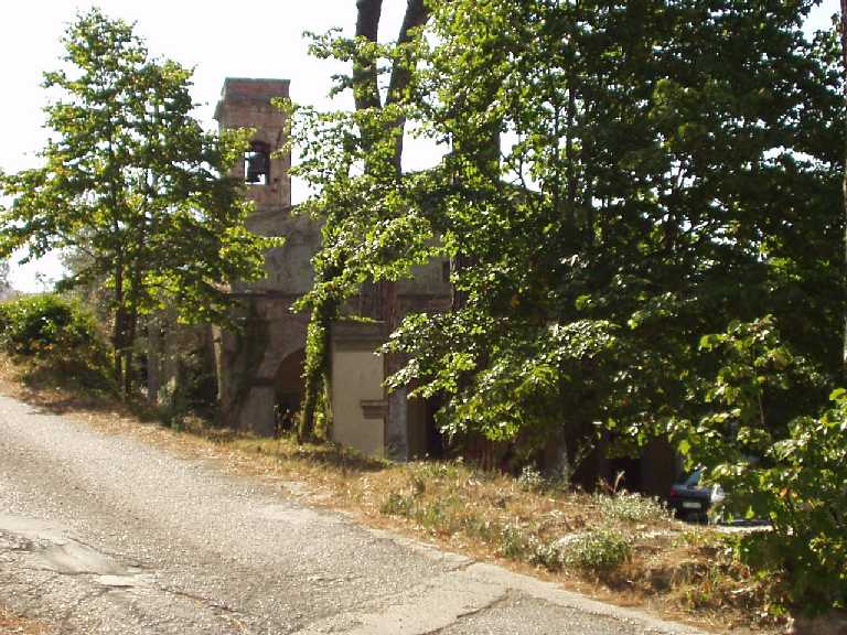
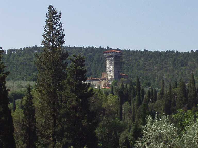
and you should tell about the area in Calenzano. Of great interest is evident Baroncoli tower, built by the family Ginori in 1520, and attributed to Baccio d'Agnolo.
- Departure from Sesto Fiorentino
- Road management Legri for Calenzano
- After the cement of Calenzano, turn Right
- Start the climb, you must follow the road for about 1 km until you pass a series of industrial, one arrives at a crossroads
- Proceed straight on the road (we are in town Sommaia)
- We pass a Small River and proceed right onto the paved road
- At the next Junction take right
- We are thus faced with a Steep Slope about 500 m long
- We pass a Small Church and then the road becomes dirt- - Proceed straigth for the dirt road for about 2 km, also meeting with a steep but short climb
- Just passed two houses, turn left
- Proceed straight for the same path, past a barrier that also prohibits the passage to the car- - Reaching a height of 510m above sea level
- - The "Source of Cherry" and here we recommend view of the freshness of the water source
- Once you are rested and watered again for a short descent to the Refuge of Gualdo (428 m)- - Here it meets the paved road that goes Morello to Top
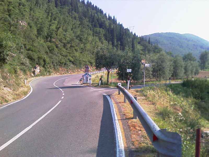
- Take the paved road Towards Sesto Fiorentino, there is a steep downhill slope 22%
- In the bottom of the hill, turn left and continue towards Colonnata for the asphalt road
- Very attentive to 4 very tight bends and down
- Be back here the last steep descent to Colonnata - Sesto Fiorentino - - Proceed straigth for the dirt road for about 2 km, also meeting with a steep but short climb
- SESTO - CHERRY SOURCE - SEPPI - POLICE HORN
- Vertical Drop 900 m - Length 35 Km - 40 % Off Road
DIFFICULTY DIFFICULT
- -
- Road to Calenzano Direction Legri begins a gentle climb
- After the cement of Calenzano, turn Right
- Start a slight ascent, you must follow the paved road for about 1 Km
- Passing a series of industrial, one arrives at a Crossroad
- Proceed straight on the road (we are in town Sommaia)
- We pass a Small River and proceed right onto the paved road
- At the next Junction take right
- We are thus faced with a Steep Slope about 500 m long
- We pass a Small Church and then the road becomes dirt
- Proceed straight for the dirt road for about 2 km
- On the right you can see on the hill adjacent to the Tower of Baracca
- Then you meet a steep but short climb
- Just passed two houses, turn left
- Proceed straight for the same path- - We pass a barrier that prevents the transition to self
l for about 4 Km
- You reach a junction, keep right
- The climb is gradual
- It reaches a height of 510m above sea level so the "Source of Cherry"
- Recommended to stop having the freshness of the water source
- Once you are rested and watered again for a short descent to the Refuge of Gualdo- - Here ends the dirt road starts and another asphalt
- Past the hut turn left into the main road that goes to the Top Morello
- Follow the main tarred road for 5 km, you reach the source- - I found at an altitude of 640m above sea level
- At the Seppi Source takes the dirt road
- After about 300 m there right and resumed the climb that is hard for about 500 mt
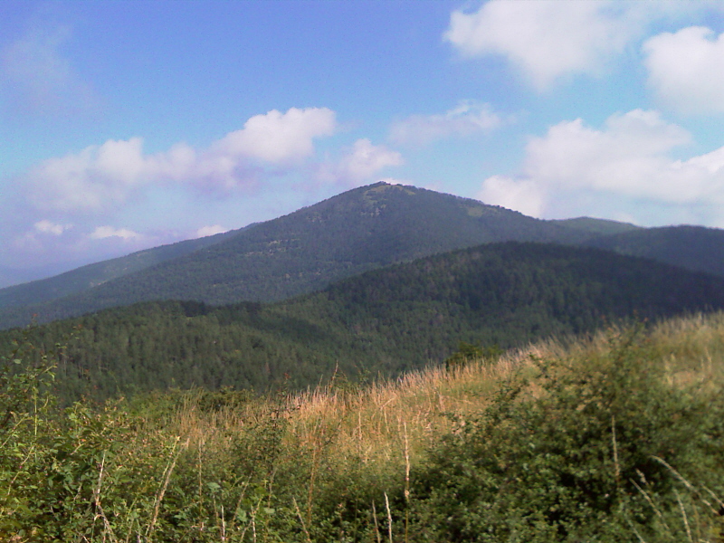
- At the top of the hill there is a beautiful view of the First Top of Monte Morello
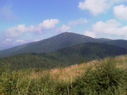
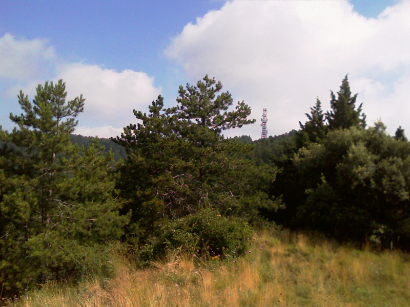
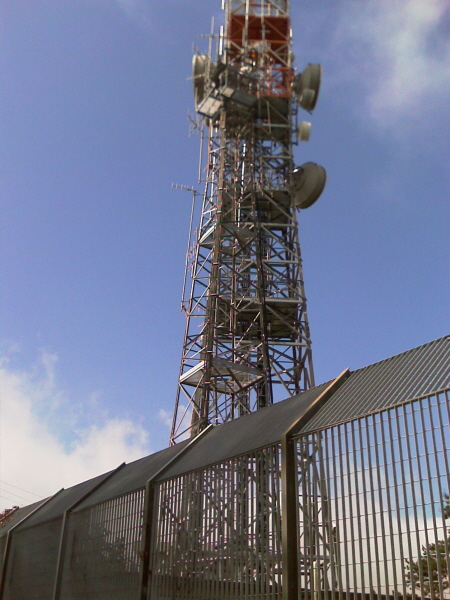
- Continued the uphill path to reach the Antennas of Police 747mt above sea level
- Begins Descent to Leonardo Square is reached after traveling a Narrow Path for 2 km
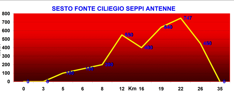
- We call on the asphalt road that takes us back to Sesto FiorentinoSESTO - CHERRY SOURCE - SEPPI POLICE HORN
Località
Km
Altezza Sesto Fiorentino 0 0 Cementizia 3 0 Sommaia 5 100 Church 6 150 Houses 8 200 Cherry Source 12 550 Gualdo Refuge 16 400 Seppi Source 22 640 Police Horn 24 747 Sesto Fiorentino 35 0 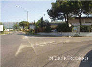
- Vertical Drop 900 m - Length 45 Km - 30 % Off-Road
DIFFICULTY DIFFICULT
-
- Departure from Sesto Fiorentino
- Road management Legri for Calenzano
- Once you reach the junction for Legri Continue right (Direction Legri)
- Walk along the paved road for about 3 Km.Si encounter some small climbs
- Once past the Legri lake, turn Right towards Legri Volmiano Mattaiano -
- The
road becomes
unpaved
and steep
- They are quite tight bends 4
- The road salt. Located at the V Crossroad of Hall Volmiano on the right and you keep left.
- It is yet another V Junction takes us on the Left
- It's a house on the left and one on the right: You enter the trail within the forest
- The dirt road continues to climb and is very bumpy with big pebbles -
-
It is still a little salt on
path
- After about 5 km uphill from the junction of Lake Legri - - You reach the top of the hill, a group of houses and the Village of Mattaiano.
-
-
There is a beautiful
View towards the
Calvana Mount
in the valley the
Hall of Volmiano
- Slightly before the houses you take a path on the right and fraught with the large pebbles. -
-
I drive about 1 km
- You arrive at the highest point at about 650 m above sea level.
- Now start the desired descent.
- - You reach a crossroads, there remains the rigth.
- It is always along the main path until you reach the village of Cerreto May- - Here the road is paved and well traveled though steep.
- Proceed for another Paterno (Location Vaglia). are about 300 m above sea level.
- Things get tough because to return to Morello Mount road climbs to a height difference 300 m
- The road is paved for about 3 km in area Vitereto
- Then the road becomes a dirt road in area Starniano
- The road goes up again but becomes paved.
- We get to Ceppeto location.
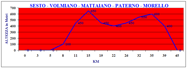
- It is still a bit of paved road to the antennas and then off to Sesto Fiorentino from 22% slopeSESTO - VOLMIANO - MATTAIANO - PATERNO - MORELLO
Località
Km
Altezza Sesto Fiorentino 0 0 Calenzano 3 0 Bivio x Legri 5 0 Lago Legri 8 100 Volmiano 11 450 Mattaiano 15 650 Cerreto Maggio 19 450 Paterno 22 400 Starniano 26 450 Ceppeto 32 550 Antenne Morello 35 600 Rifugio Gualdo 39 400 Sesto Fiorentino 45 0 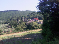
MTB TRACKS MTB SLIDESHOWS SLIDESHOW TRAVELS SLIDESHOWS TRAVELS TRAVELS TRAVELS TRAVELS TRAVELS PROJECTS Artimino Mount Florence-Artimino Signa Brasil-Recife Portugal Amsterdam Egypte Mykonos United States Merry Christmas Led Morello Mount Florence-Morello Mount Crete Praha Austria Formentera New York Switzerland Crepuscolar Sensor Roveta Mount Florence-Roveta Mount Cube Rodhes Balearic France Niagara Falls Tunisie North Water Sensor Renai Park Florence-Renai Park Germany Sicily Berlin Ibiza Paris Tunisie South Vaiano Bike Track Florence-Vaiano Ibiza-Formentera Swizerland Brasil Italy Paros Twc MTB GPS TRACKS
MTB
Holland-Amsterdam Tunisie Chambord Lisboa Portugal Unghery Gps Tracks Mtb Maintenance Mykonos BERLUSCONI
Corsica London Rep.Ceca PROJECT
Google Earth Tracks Mtb Physical Training Paris Images Crete Maroco Sardinia Equalizator Excel Tracks Anearobica Threshold Paros Slideshows Cube Mexico Sicily Magnetoterapy
